Spatial Subsystem
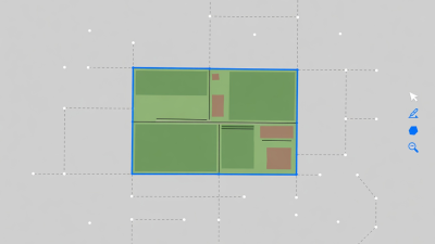
Boundary & Elevation Engine
Calculates RTK-calibrated topographical contour lines, 3D water-runoff trajectories, and micro-watershed boundaries. Automatically updates common land unit (CLU) records with historical boundary drift adjustments.
- Format Support:Shapefile, KML, GeoJSON
- Elevation Mesh:1-meter LiDAR DTM